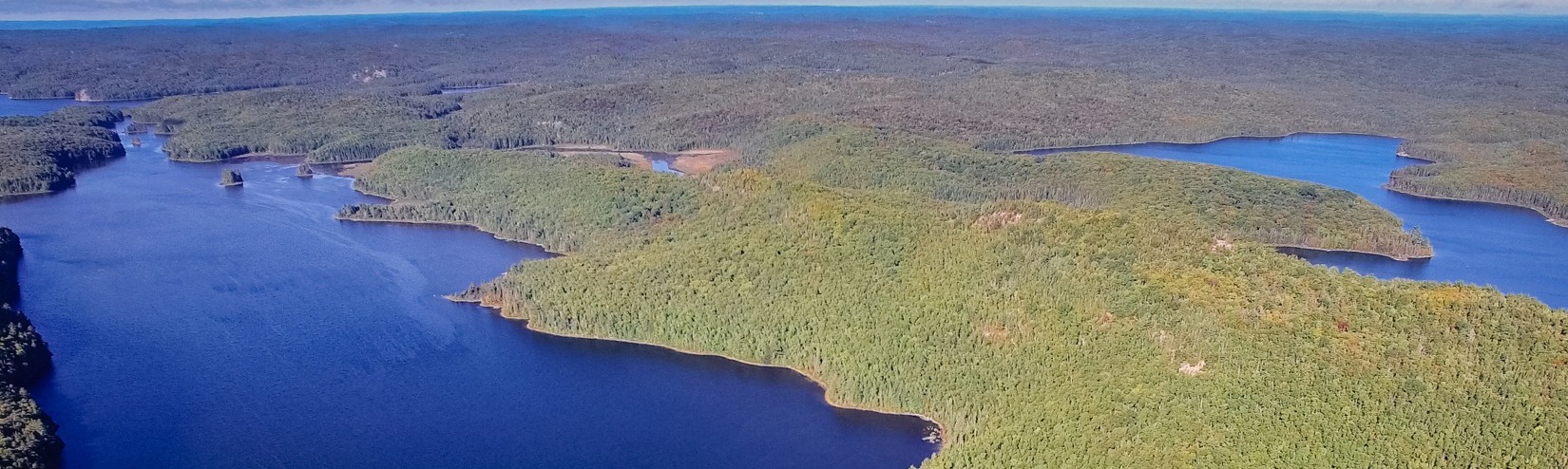
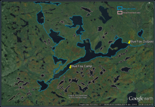
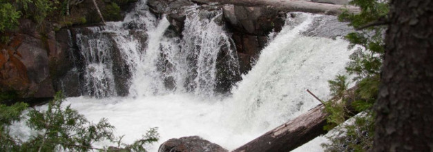
The Blue Lake System
The Blue Lake System is part of the Algoma Highlands, and consists of 8 feeder lakes (Blue, Robb, Elbow, White Bear, Townline, Finn, Spot, and Pointer) which discharge into Blue Lake, all of which contain naturally reproducing Lake, Rainbow, and Brook Trout. This diversity of naturally reproducing trout is found in less than 1% of the lakes in Canada which has led to the entire Blue Lake System being designated as a fish sanctuary. This designation includes special fishing restrictions enforced by the MNR along with the area being included as a Lands for Life Provincial Park, as part of the Little White River Provincial Park. As a Lands for Life Provincial Park, the Blue Lake System gains additional protection from logging and mineral exploration.
In addition to the outstanding naturally reproducing natural trout stock in the 8 main lakes, the area is fortunate to be supplemented by a trophy-class brook trout stocking program. The stocking program in the lakes surrounding the Blue Lake System concentrates on a limited number of planted fish. This reduces the pressure on the food supply so that trout in the Blue Lake System regularly reach trophy caliber sizes (+8 pounds) within 4 to 5 years which are highly sought after by the “elite” trophy brook trout fisherman.
Watershed
The Blue Lake watershed consists of approximately 100 lakes and rivers, the majority of them spring-fed. The Blue Lake System is part of the Little White River Provincial Park, a 13000 hectare park that includes:
- the section of the Little White River which borders Hwy 546 north of Iron Bridge
- the Raven Lake Uplands, an area southwest of Blue Lake and north of the Little White River that includes Wakomata Lake
- the Blue Lake System
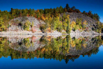
Almost all of the lakes in the Blue Lake System and surrounding area are oligotrophic in nature (lakes can be classified as oligotrophic, mesotrophic, or eutrophic), meaning that they have a relatively low level of nutrients in the water. Oligotrophic lakes are defined by deep, cold water and rocky basins with sparse weed growth and are considered good trout habitat. One exception is Burns Lake, located southwest of Blue Lake. Burns Lake may be classified as mesotrophic, since it generally shallower and is capable of supporting a sizeable smallmouth bass population.
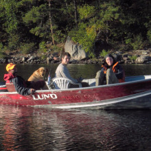
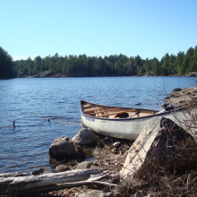
A trip through the area was documented by well-known Canadian canoeist Kevin Callan in June, 2009. Along with Blue Fox guides Chris Moose and Pete Roberts, Kevin and friends took a five day canoe trip starting and ending at Blue Fox Camp. The trip was documented on Kevin Callan’s Blog at Explore Magazine and also in the book Top 50 Canoe Routes of Ontario.
Geology
3 billion years ago, the Blue Lake System was part of the largest mountain range on the continent. Over time, the area has been worn down by erosion, but what remains is a stunning example of northern Ontario geography and geology.
The Blue Lake System is located at the contact between the Superior and Southern Provinces of the Canadian Shield. It is located mostly within the western part of the Paleoproterozoic Huronian Super-group (four stratigraphic groups of sedimentary, volcanic and intrusive rocks that overlie the Superior Province). One exception is the Finn Lake area and the West Little White River, to the north end of Endikai Lake. The geology of this area is part of the south end of the western Abitibi Sub-province (granites and quartz monzonites) of the Precambrian shield.
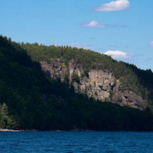
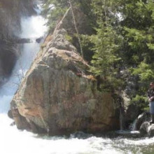
The Huronian Supergroup rocks were overlain by sedimentary rocks (sandstone, mudstone) that covered the area approximately 2.5 billion years ago. These sandstones form the towering cliffs seen on the north shore of Kirkpatrick Lake, just east of Blue Fox Camp.
The primary soil in the Blue Lake System is thin, sandy ground moraine till which was deposited by the south-southwestward advancing Superior lobe of the continental ice sheet. Most of the Blue Lake System was part of a large island in a succession of glacial lakes that formed as the ice sheet receded to the north at the end of the last ice age (between 100000-12000 years ago). One unique feature in the area related to the glacial retreat is the Rawhide Moraine, found on the southwest side of White Bear Lake. A moraine is any accumulation of glacial debris (soil and rock) that occurs in currently glaciated and formerly glaciated regions (a good example is the Oak Ridges Moraine north of Toronto). The Rawhide Moraine is a recessional moraine, meaning that it formed when the retreating glacier remained stationary for a long enough time to produce a mound of material (i.e. during a cold spell, during which time the glacier was not receding).
Updates
This page is part of the Blue Fox teams plan to document the history and environment of the Blue Lake System. Its an ongoing project, please check back occasionally for more updates on the Blue Lake System.